living in a world that is governed by data and we have to deal with lots and lots of information daily to manage different types of information and record and analyze all those information in the correct form. The problem is not that the technology has enabled us with so much information at our disposal but rather the fact that there is so much to deal with that at times we are also lost at the hands of too much and over-data driven approaches. To deal with such issues, we need to have access to the right things at the right place and that too, without mishandling the facts and figures. However, cartography is one such tool that helps us to manage information on the maps without any hassle.
When we are blessed with too much information where we need the data to get analyzed, disseminated and also make it user friendly for them to be able to use all this geospatial information in the right direction, GIS cartography serves us as the best tool that plays a vital role in enabling the students to comprehend the complex situations. Maps serve as the perfect solutions that help us the interface between the human users and all the immense amount of information that is available to us through the wide spectrum technology.
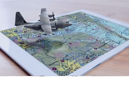
The role of GIS cartographer is to help you visualize almost anything that is present on the face of the earth and helps you to use that cartography and GIS for almost any possible situation. In the modern usage of the GIS and cartography, the role of the is to present the people with their location of interest and produce them with locations that are required for them instantly. In the current situation, cartographic mapping has a huge tool where the data is visually presented to the users on the device that they are using and enables them to locate things that they have been looking for from anywhere in the world.
There are multiple advantages of using digitally presented cartographic maps it has enabled the consumers the fast and effective means to access information, and as soon as the person list down the details about specific data, the cartographic mapping helps them to get the information instantaneously. While those who have been using mobile locations to have access to information cartographic mapping have served them with the great deal not only the digitalized system is convenient for many of the users but also make sure that the information that is delivered to the users are effective, accurate and also reliable at the same time.
Moreover, one of the most important things to note is the fact that no matter how much technology-based information we are relying on. One of the basic things to know about cartographic mapping is the fact that the basic principle of cartographic designs remains the same. That is the feature of the cartographic mapping relies on the fact that maps are the abstraction of reality.
You are able to visualize only those features on the cartographic maps that you can see some of the highlighted features on the maps that abstractly show you the details that you have asked for. However, some of the areas of the geospatial data has been highlighted. In contrast, others remain undercover as per the requirements of the information that are going to be used for the person who has asked for it.
However, it is important to note the abstracting reality of the cartographic maps makes it more and more significant to understand and people can analyze the situation of the specific area more significantly than the others maps that are physically available to us.
The Importance of Using Cartographic Maps:
Abstraction is Efficient Means of Understanding the Information
In some of the worst natural disaster-affected areas you only need to understand the areas and highlighted those locations that require aid and support teams’ it the help of GIS cartography one of the essential element is that the teams for rescue can understand those areas that require emergency support requirement.
Taking maps for such information is essential, especially when they are designed with discreet information about the specified region.
Integrated Approaches
It may seem to you that to design cartographic frames and maps is the work of the cartographers but, to be honest, it remains the responsibility of the inter disciplines to provide them with the right amount of information and technology-based approaches so that it makes it easier for the teams to use all those information in constructive mannerism.
Cartography is the most relevant and the need of the hour tool with the cartographic maps we will be unable to understand the data and will become geospatially blind. To be aware of our surroundings, we need to be aware of the importance of cartographic maps in our lives.